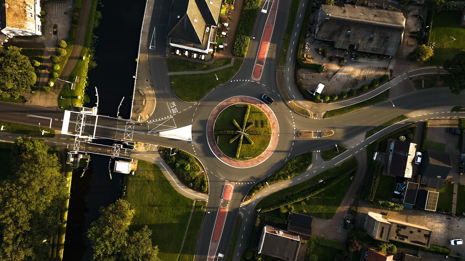
Aerial Traffic Survey
Advanced aerial technology to monitor and capture data on traffic patterns, vehicular movements, and road conditions. By leveraging our high-resolution cameras and precision GPS-enabled drones, we provide a bird's-eye view of key transport hubs, junctions, and arterial roads.
Managing traffic flow and infrastructure in an increasingly urbanized world demands precise, up-to-date, and actionable data. Conventional traffic survey methods typically require expensive setups, lengthy procedures, and pose safety risks for the survey teams.

Below are the list of deliverables we will aim to deliever. We will work with you to ensure deliverables meet your requirements and exceed your expecations

Get in touch today to learn how our drone survey services can provide accurate, efficient solutions for your project needs.