Aerial Survey
Services
Deliverables

A roof and building inspection drone survey provides a detailed aerial view, quickly identifying damage or wear without the need for scaffolding or ladders.

Drones with high-definition cameras, thermal imaging, and advanced sensors inspect the condition of telecom tower masts, antennas, cables, and other components.

A stack and chimney drone survey uses drones with high-resolution cameras and thermal sensors to inspect tall industrial structures like smokestacks and chimneys.

A solar inspection drone survey quickly identifies issues like defects or overheating in solar panels using advanced aerial imaging.
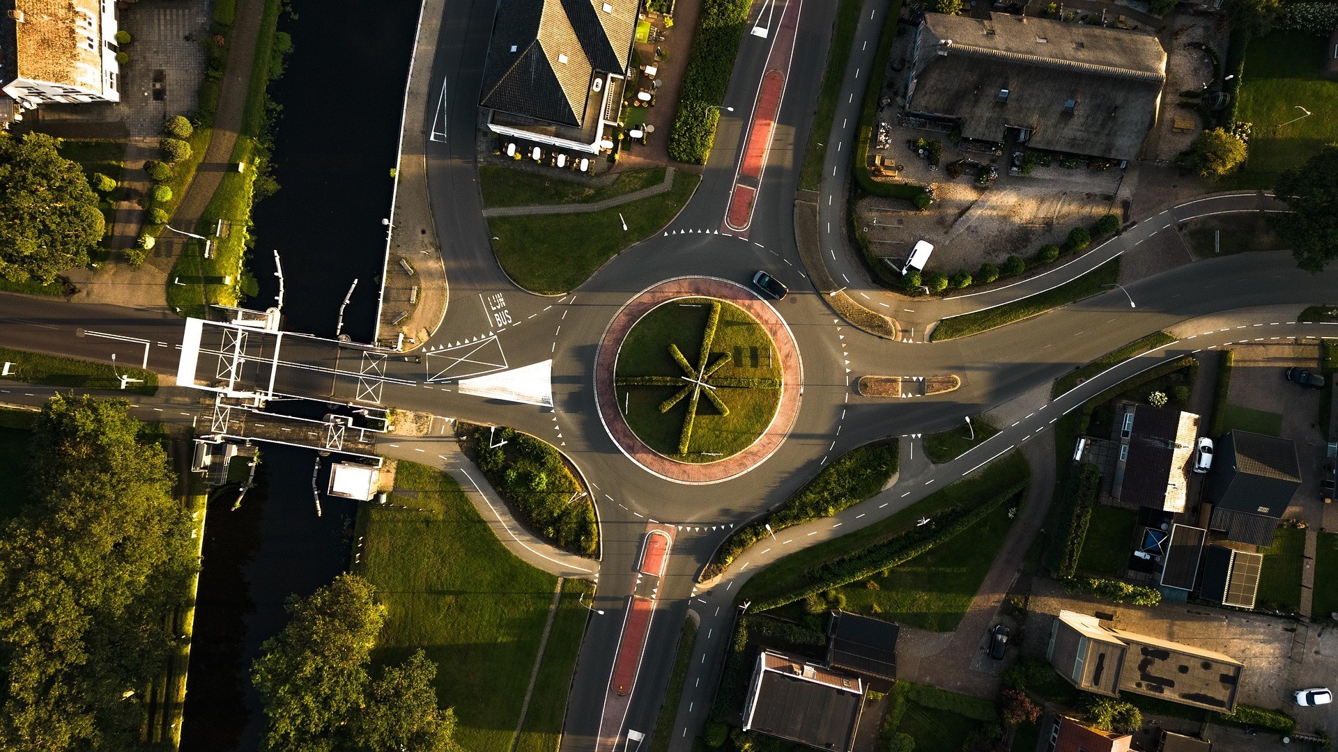
Using drones we to monitor and analyse traffic flow, road conditions, and congestion from the air.

An aerial topographic survey uses drone technology to capture precise, high-resolution data for creating accurate maps and 3D models of the land's contours and features.

A stockpile volumetric survey uses drones to accurately measure and calculate material volumes for efficient inventory management.

Virtual tours provide an immersive, interactive experience, allowing users to explore locations remotely in high-quality 360-degree detail.

We utilise use drones equipped with high-resolution cameras, GPS, and other sensors to track the development of construction or infrastructure projects.
Services
Deliverables
A roof and building inspection drone survey provides a detailed aerial view, quickly identifying damage or wear without the need for scaffolding or ladders.
Drones with high-definition cameras, thermal imaging, and advanced sensors inspect the condition of telecom tower masts, antennas, cables, and other components.
A stack and chimney drone survey uses drones with high-resolution cameras and thermal sensors to inspect tall industrial structures like smokestacks and chimneys.
A solar inspection drone survey quickly identifies issues like defects or overheating in solar panels using advanced aerial imaging.
Using drones we to monitor and analyse traffic flow, road conditions, and congestion from the air.
An aerial topographic survey uses drone technology to capture precise, high-resolution data for creating accurate maps and 3D models of the land's contours and features.
A stockpile volumetric survey uses drones to accurately measure and calculate material volumes for efficient inventory management.
Virtual tours provide an immersive, interactive experience, allowing users to explore locations remotely in high-quality 360-degree detail.
We utilise use drones equipped with high-resolution cameras, GPS, and other sensors to track the development of construction or infrastructure projects.


© Frame Bound Surveys 2025
© Frame Bound Surveys 2025
© Frame Bound Surveys 2025