
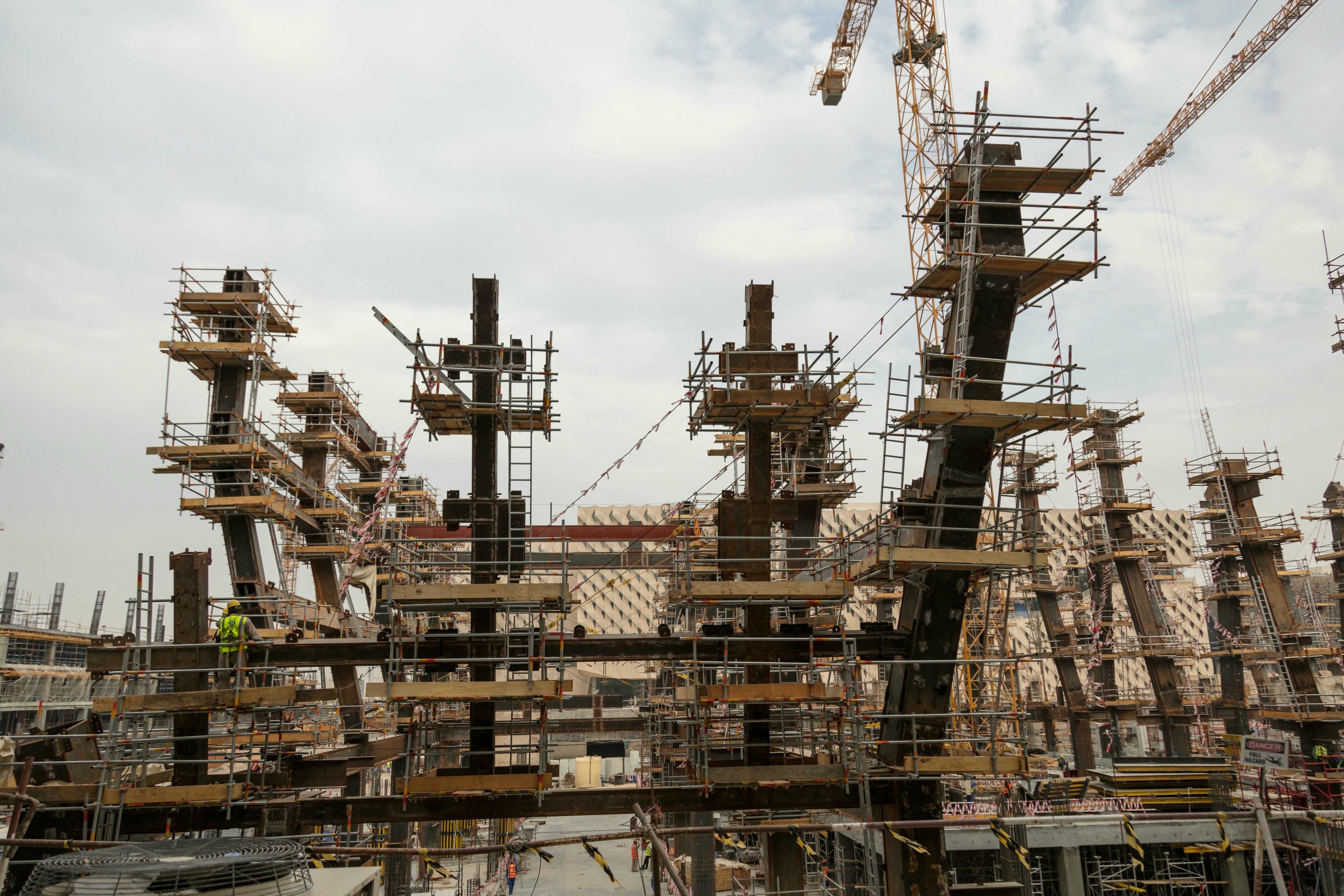
Progress Monitoring
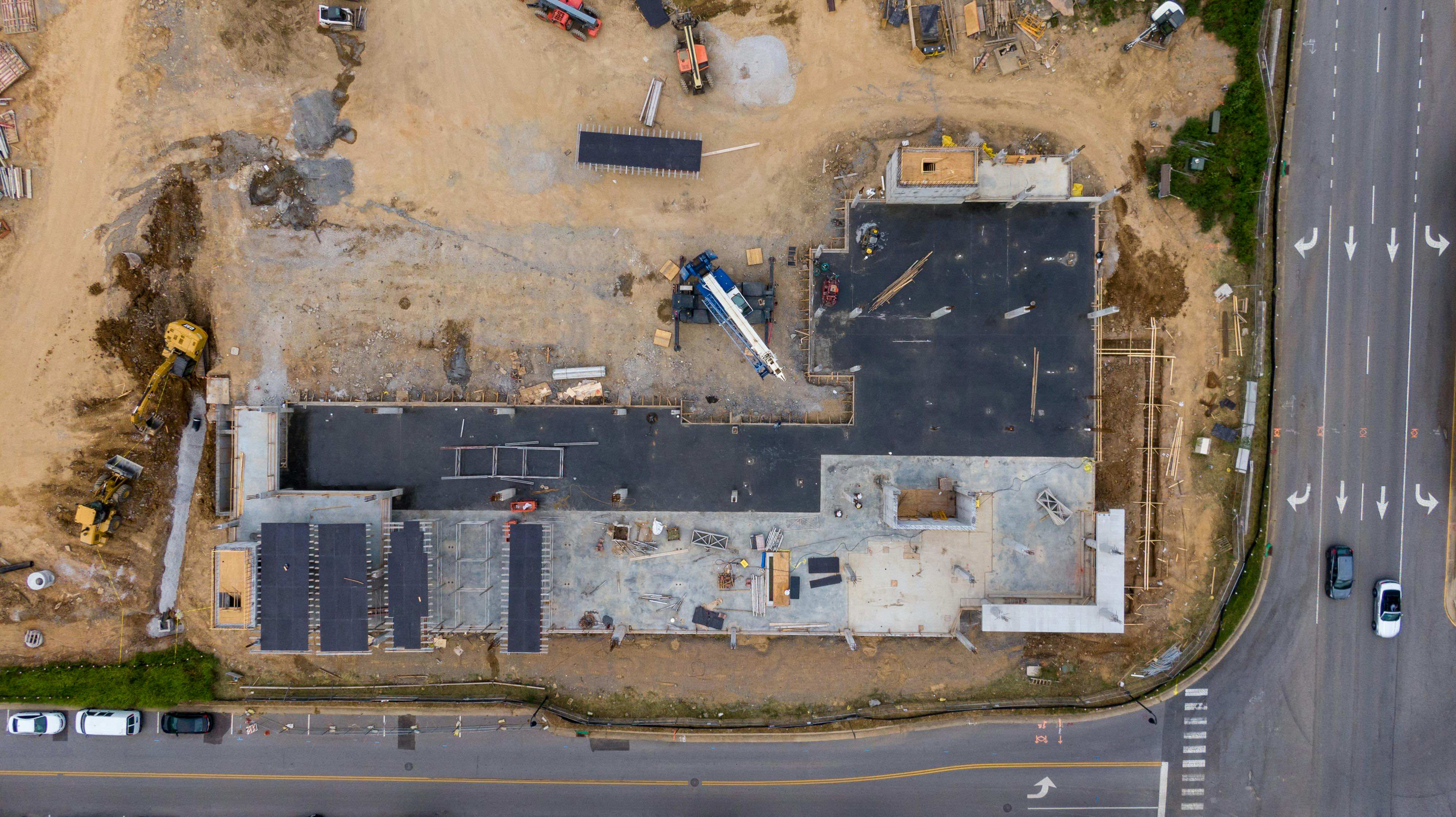
Progress monitoring utilizes unmanned aerial vehicles (UAVs) fitted with advanced cameras and sensors to capture real-time, high-resolution images and data from construction sites.
Our services are suitable for all types of projects from construction and engineering to environmental monitoring and agriculture, our aerial surveys adapt to your specific needs. We equip our drones with full-frame imaging sensors, capable of capturing images with resolutions up to 62 megapixels. This exceptional level of detail is crucial in creating accurate 2D and 3D representations of the surveyed areas.

Below are the list of deliverables we will aim to deliever. We will work with you to ensure deliverables meet your requirements and exceed your expecations
Get in touch today to learn how our drone survey services can provide accurate, efficient solutions for your project needs.


