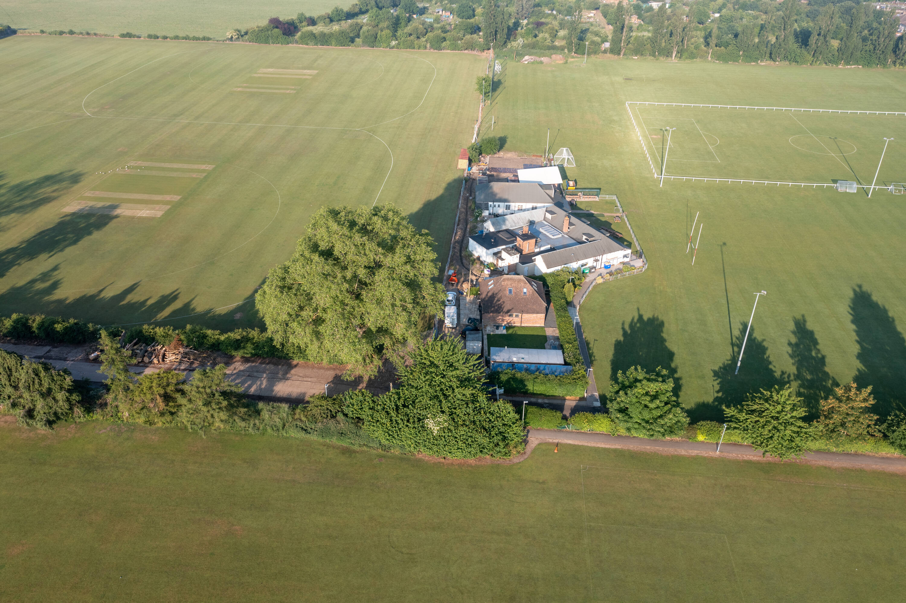
Scope
As part of proposed private redevelopment project a topographical survey of area was requested
Process
Due to large area to be covered and accuracy required. A combination of drone and GPS was utilised. This provided optimal accuracy and allowed for large area to be served in short time
Solution
A set of interactive deliverables as such 3D models and Orthomosaic was provided to client to provide aerial overview of area of interest.